----that line----- Borders--
What is a Border?
A border (per wikipedia) defines a geographical boundary of a political entity. Countries are defined as regions identified as a distinct entities in political geography.
Affect & Effect
Borders control the flow of people & their ideas.
Borders control the flow of goods.
Borders provide identities for groups of people.
Borders sometimes set apart people of similar genomic backgrounds and sometimes unify people of varied genomic backgrounds.
But they are not absolute?
When I was on a trip in the Balkans, I often found myself going through a border-control for a country I thought we were already in. For instance, in the map below our route brought us along a road which meandered between both the Bosnian and Serbian border.

In most cases, they are....
In other instances that border is so much more protected and respected....
On the border between India and Pakistan the Protection and Respect that these two nations show each-other and their citizens is revealed in a daily "closing of the gate" ceremony:

This will be a visual investigation of the Physical Space that the border inhabits- of unique situations that come from those lines which countries and individuals draw - separating x from y-...
----------------------------------------------------------------------------------------------------------------------------------------

After Sandy, the coastline of NYC revealed its fragile nature. I am also aware that much of lower Manhattan is a man-made construction feat, accumulated over time. I found a website- http://oasisnyc.net/map.aspx -- which (among many other things) details the mass of all of NYC land through time. In the above photograph, the purple blocks are industrial sites (contemporary - used for reference) and the orange is Manhattan's border.
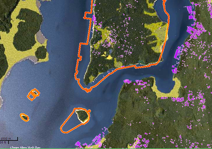
The above image in this instance still has all of the aforementioned markers, however, it is what Manhattan was before people.....
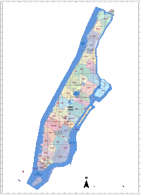
When does Manhattan begin and Brooklyn End?
When I go across the Williamsburg bridge, when do I technically step foot onto Manhattan? Is there a disparity between Manhattan City and New York County? Is the water in-between these two counties a part of the city itself?
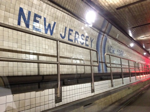
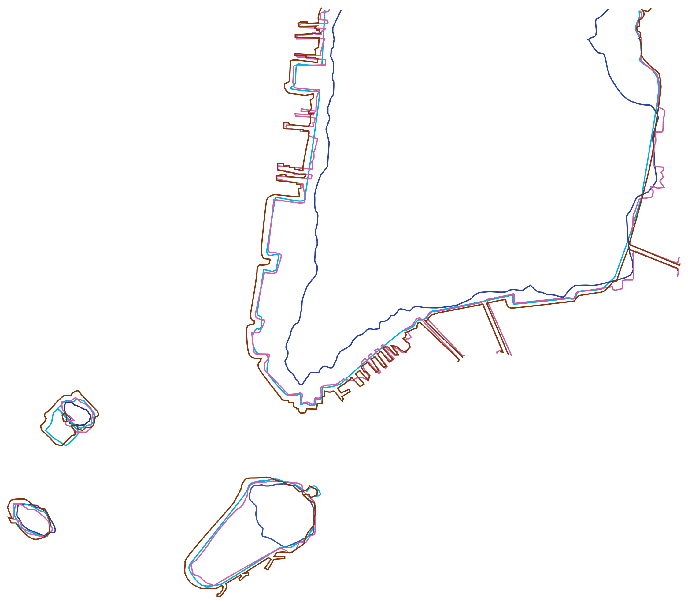
I traced the lines of Brooklyn County, Brooklyn-the-land-mass, Manhattan land-mass through time, and Jersey State border.
I find Ellis Island to be an amazing curiosity. It is both within the New Jersey State line and yet remains a part of Manhattan city limits. Before it was settled and morphed by the massive demands of land by the population, Ellis Island was half the size it is today.
This graphic also explains that apparently, New York County "owns" all of the bridges from Brooklyn--the entire thing. Whereas for the Lincoln Tunnel and for the GWB, Manhattan shares half of the infrastructure with New Jersey.
The difference between New York County and Manhattan is...


A map of the changing borders of Europe- animated!
http://www.liveleak.com/view?i=14d_1348362692
--------- Liminal or Questionable Border/Delineation States ------ Photo-set ------------
Painted room divider
Shadow & light
house divide

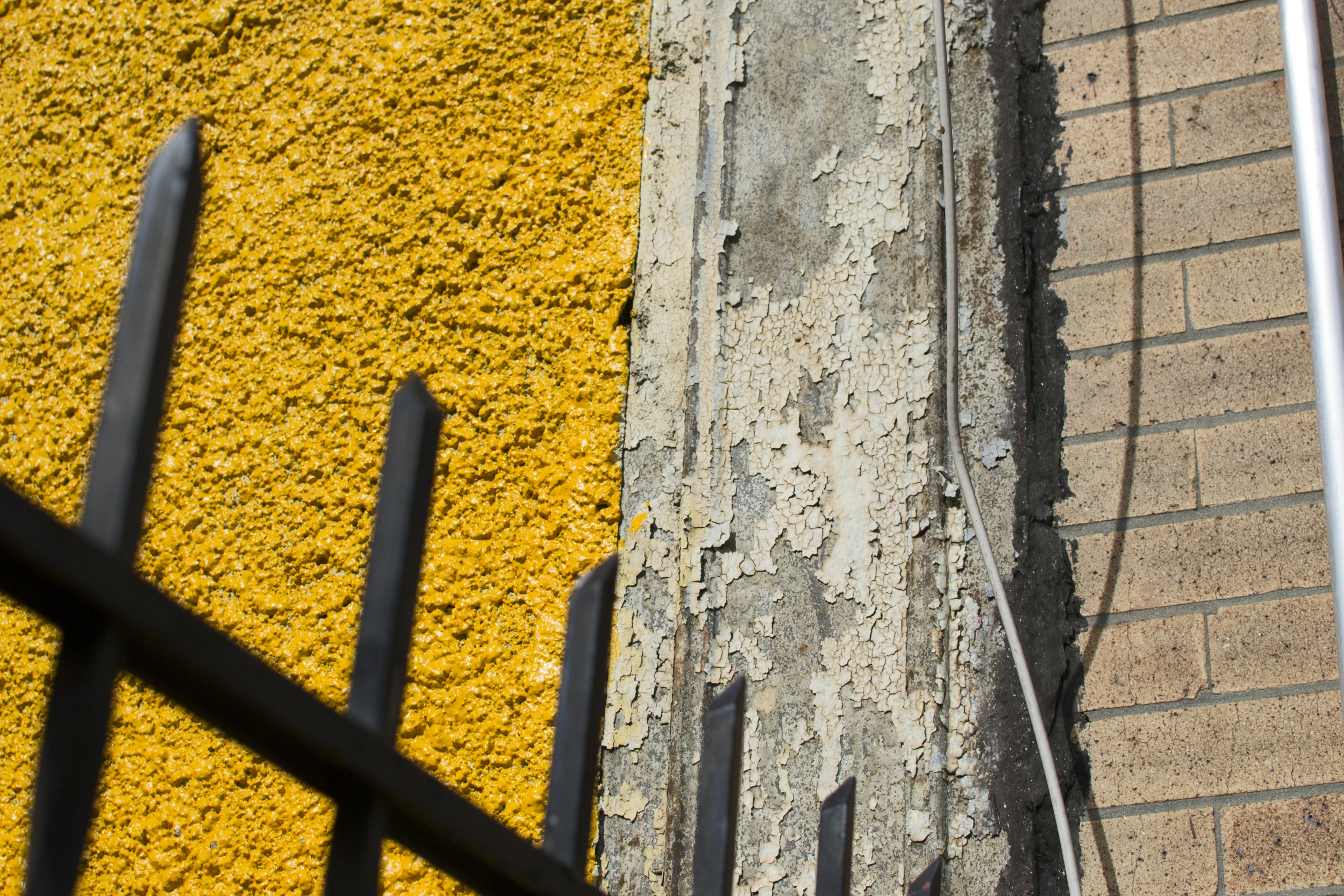
road paint
3rd and 4th floors
--------------------------------------- SCALE--------------------------
The Physical Line of a Border within All countries unified

I traced each outline of each individual country and made it into one mass.
I then traced each individual country's border (that line on the map) in as dense as possible within the entire mass of all of the world's countries.
This was done using a projector, a pen and acrylic paint.
_____________________HOW TO CIRCUMVENT THE GREAT FIREWALL OF CHINA__
Internet censorship circumvention
"You need a VPN to surf anywhere. We have tow that we use. The first is the VPN which basically connects through Hong Kong. This gives us access to Facebook, Twitter, YouTube, all the things that you can't access from Shanghai. The problem with the Hong Kong point of origin is that we can't access American media sites. So, we have another VPN that makes it look like we're logging in from the state of Georgia -- so now I can watch Dancing with the Stars."
A westerner moved from the US to China and discussed the methods by which she gets around the strong internet sensorhip dubbed the Great FireWall of China.
With one click on her computer - she can disguise her computers' address is back in America.
--------resolution-----------------------------------

That's a vector right there... a line. For a subject of resolution- a simple exercise is, of course, to degrade that and see the pixels form borders around the units creating the line.


after this image - the remaining deconstructions showed no change. It is that photoshop recreates the pixels when resizing- resampling the pixels.


Data
P.O.I.S.E.D. is a laser scanner camera and projector for art installations - real time laser imaging and projection system inspired by Nipkow Discs, frequency as image, and the physics of light.